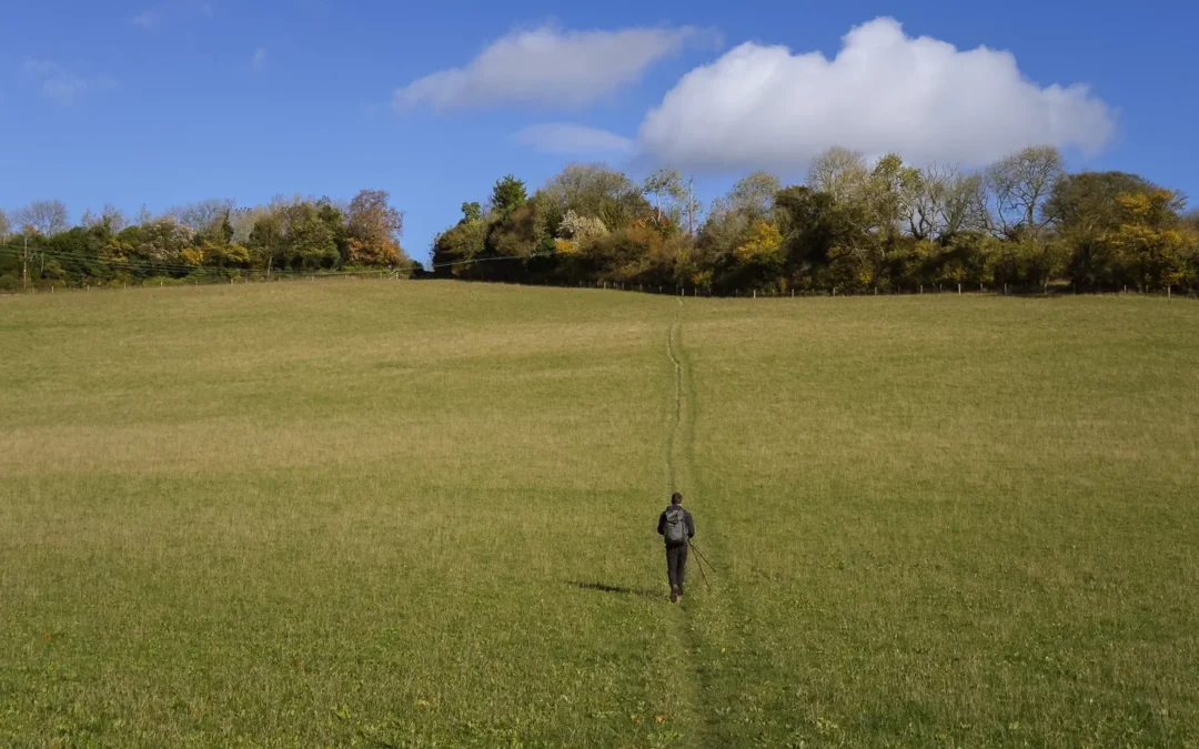
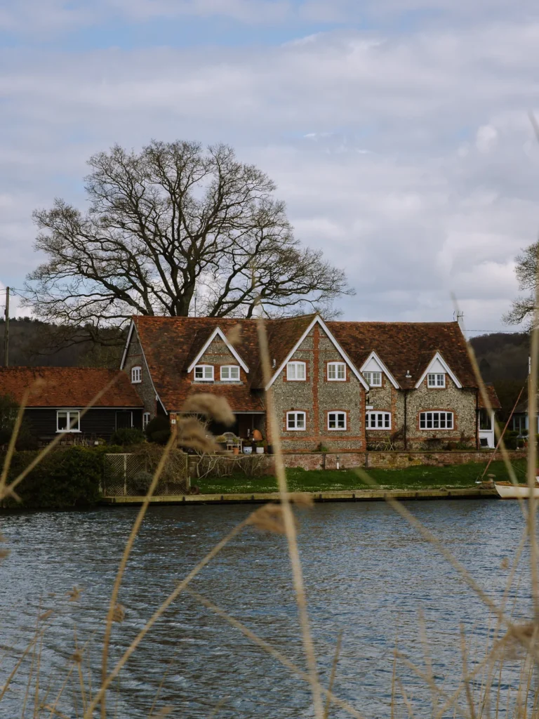
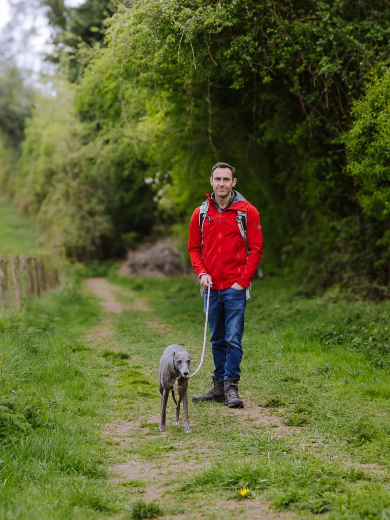
The Chilterns Area of Outstanding Natural Beauty is a wonderful slice of countryside less than an hour from London. We’ve been coming here for weekend pub walks for the best part of 30 years. Here are our favourites.
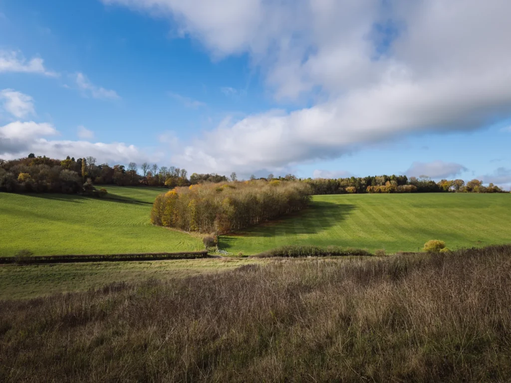
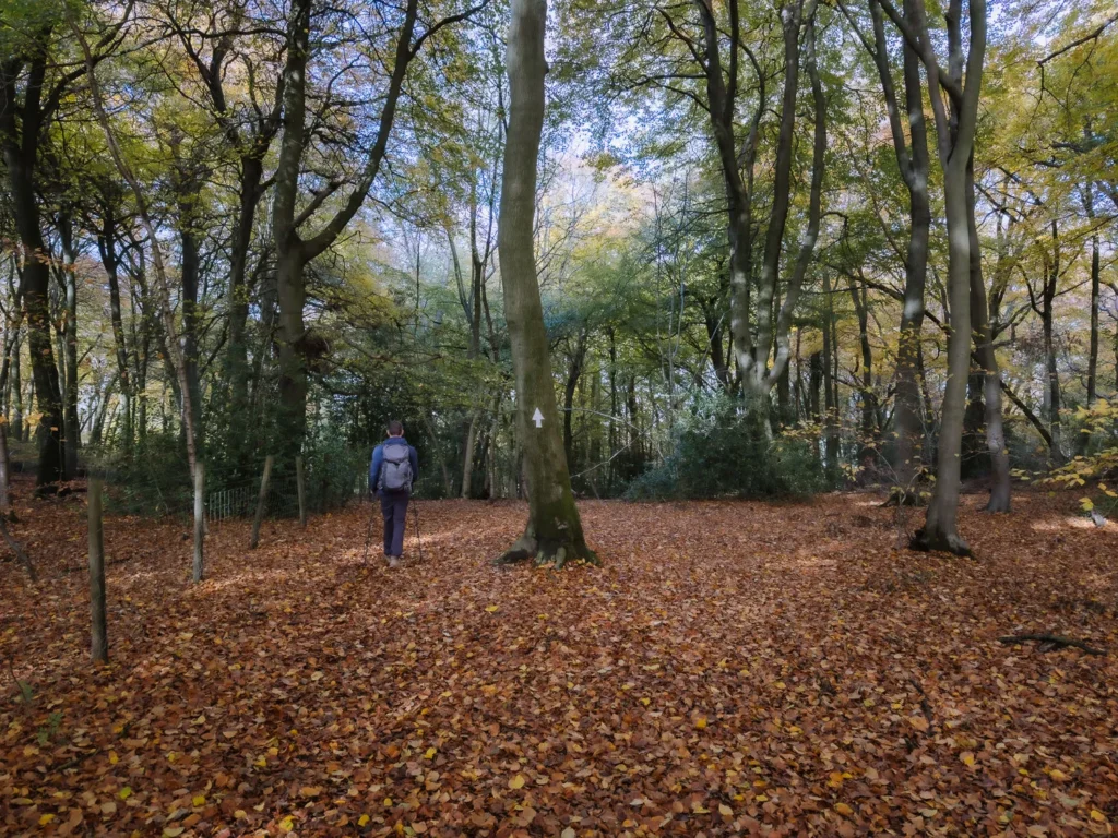
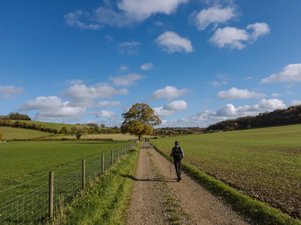
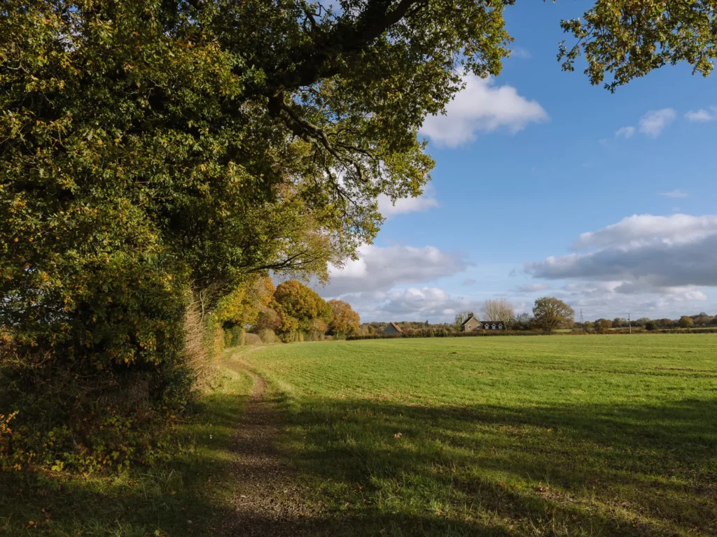
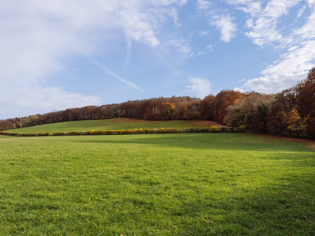
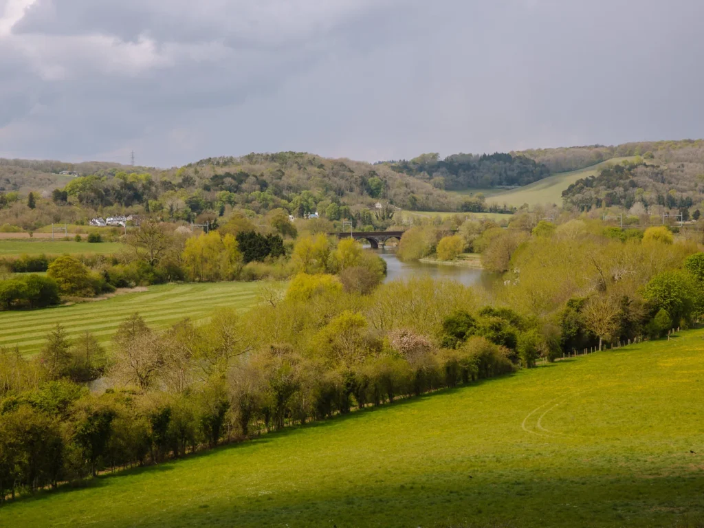
The Chilterns have all the elements of classic English scenery: rolling hills, beech woodlands, chalk grasslands, and historic sheep-farming villages.
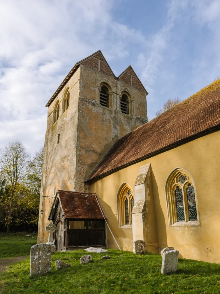
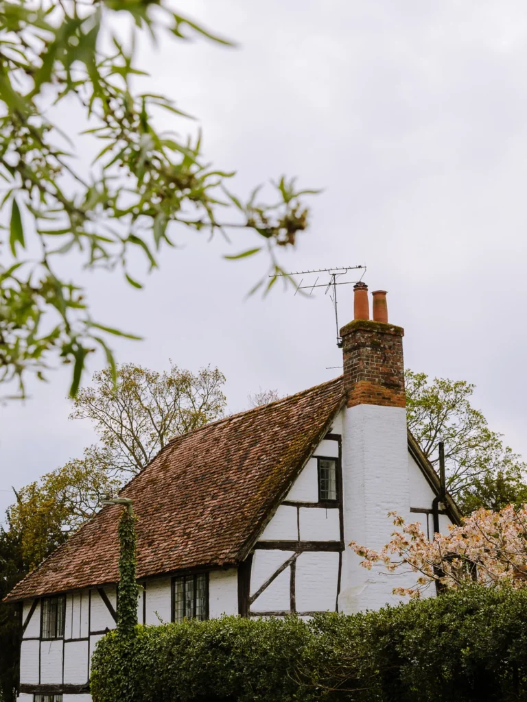
There are medieval structures, Roman roads, Iron Age forts, quaint churches and lovely viewpoints. Expect to find woods adorned with bluebells in spring or carpeted with golden foliage in autumn.
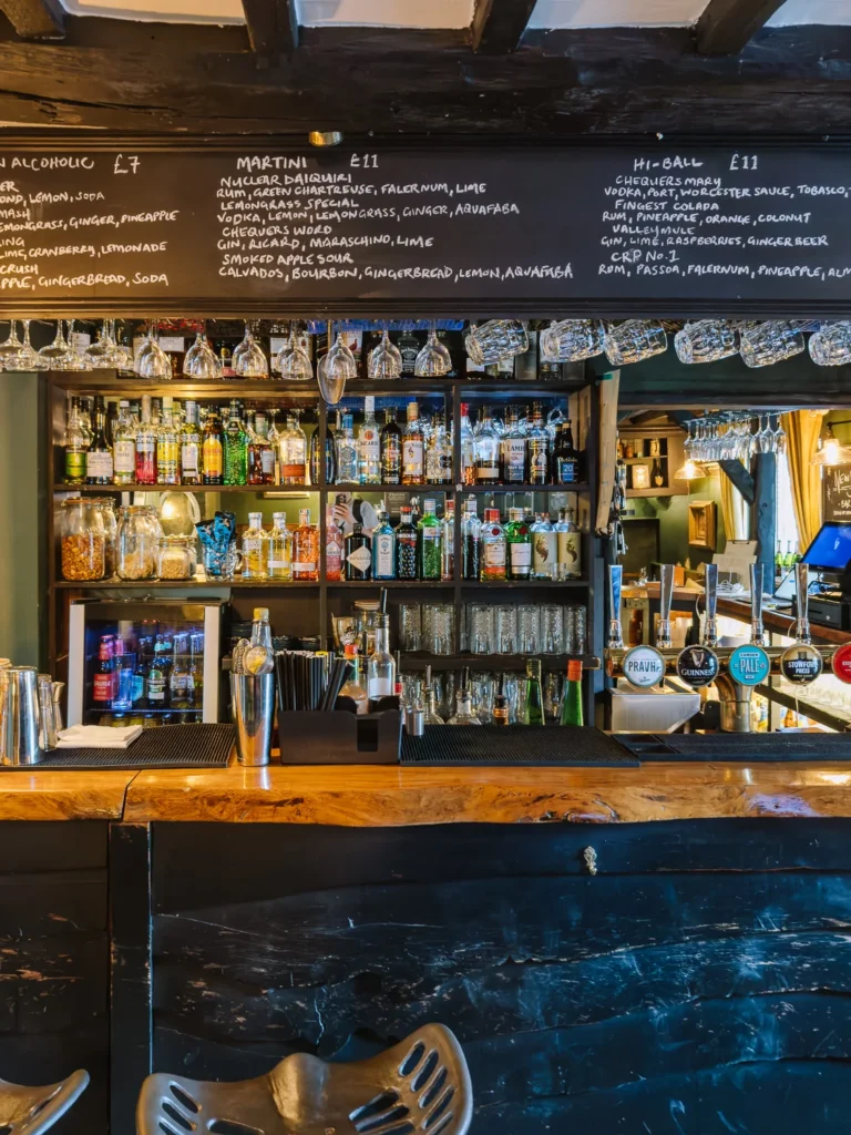
The best thing about these walks we have selected for this guide, however, is that they all have a charming country pub perfectly positioned for lunch.
We really recommend the Chilterns if you’re looking for a country escape from the city. They are closer to London than the Cotswolds, far less busy, and the pubs are generally much cheaper.
Each walk in this guide includes a detailed map, route overview, distance, elevation profile, and our recommended pub stop.
Bear in mind that many pubs close for lunch on Mondays and Tuesdays, and some only open at weekends, so it’s worth checking ahead before you set out.
MAP & OVERVIEW: PUB WALKS IN THE CHILTERNS
The Chilterns are an Area of Outstanding Natural Beauty (AONB) about 1 hour from central London.
You’ll find all our favourite pub walks in the Chilterns on the map below.
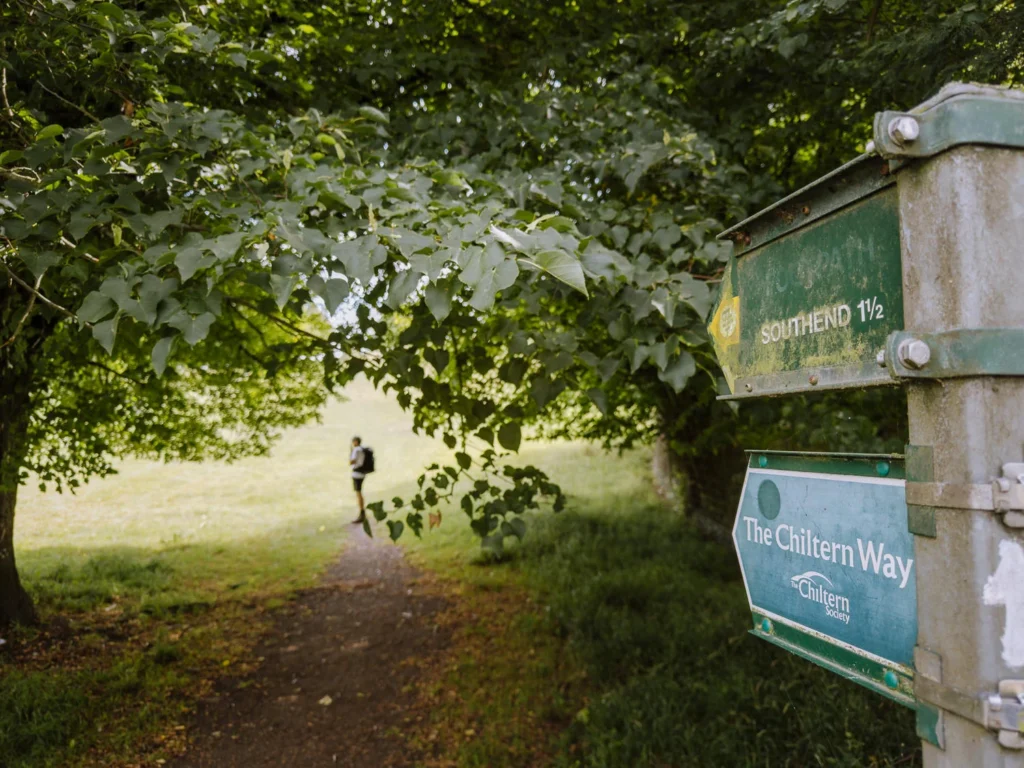
Many of these make use of the National Trails, including the Ridgeway, the Shakespeare Way, the Chiltern Way, the Oxfordshire Way, and the Thames Footpath.
Every hike is between 6 and 12 miles, and each of them includes a stop at a country pub, either part of the way round or at the end.
You can reach many of these hikes by public transport, though a car will make things much easier.
Each hike includes a walking map which you can take with you to follow.
USING OUR MAPS. Click on the top right corner to open in the Google Maps app. Click on the star to save to your Google account.
BEST PUB WALKS IN THE CHILTERNS
1. IVINGHOE BEACON & ASHRIDGE ESTATE
- Start / End: Pitstone Hill Car Park (HP23 5RT)
- Distance: 8 miles (12.9 km)
- Duration: 3 hours, 45 minutes
- Elevation: 905 feet ascent & descent
- Difficulty: Medium
- Map: Ivinghoe Beacon OS Map
This lovely hike explores the far northern end of the Chilterns. It begins by following the Ridgeway up to 233-metre-high Ivinghoe Beacon, the site of an early Iron Age fort and an ancient signal point.
The summit offers 360-degree views, and if you look carefully, you can see a white lion cut into the rolling chalk grasslands.
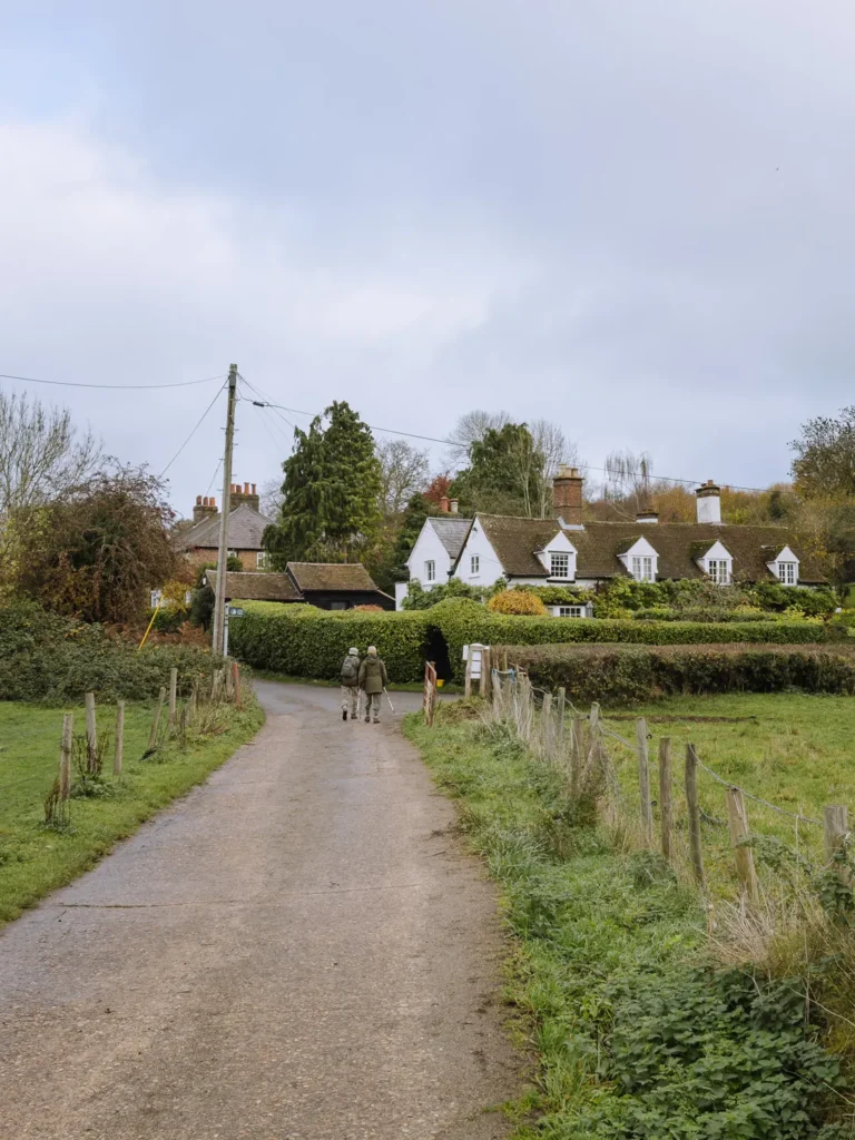
The path then continues through the towering forests of the Ashridge Estate before descending to the unspoilt village of Aldbury. It has a village green, a little duck pond and a choice of two good pubs for lunch.
After lunch, there are a few steady ups and downs, but nothing too challenging. You rejoin the Ridgeway, disappearing in and out of ancient woodlands.
PUBS
Aldbury is about 2/3 of the way through the hike and a great place for lunch. It has two pubs: The Trooper (drinks only on Monday) and The Greyhound. There are also two well-rated cafés and a National Trust café at the Ashridge Estate.
GETTING THERE
This walk is just a 10-minute walk from Tring Station, which is 30 minutes from London Euston.
2. CHEQUERS LOOP
- Start / End: Coombe Hill Car Park (HP17 0UR)
- Distance: 8.25 miles (13.25 km)
- Duration: 4 hours
- Elevation: 1,250 feet ascent & descent
- Difficulty: Medium
- Map: Chequers Loop OS MAP
This is a wonderfully diverse and enjoyable hike with many interesting features. There are a few short, sharp climbs as it goes up and down the escarpment, but none of them last long.
The walk starts next to the top of Coombe Hill (260m), which is topped by a monument to those who died in the South African Wars. From here, there are excellent views over the Aylesbury Vale and beyond.
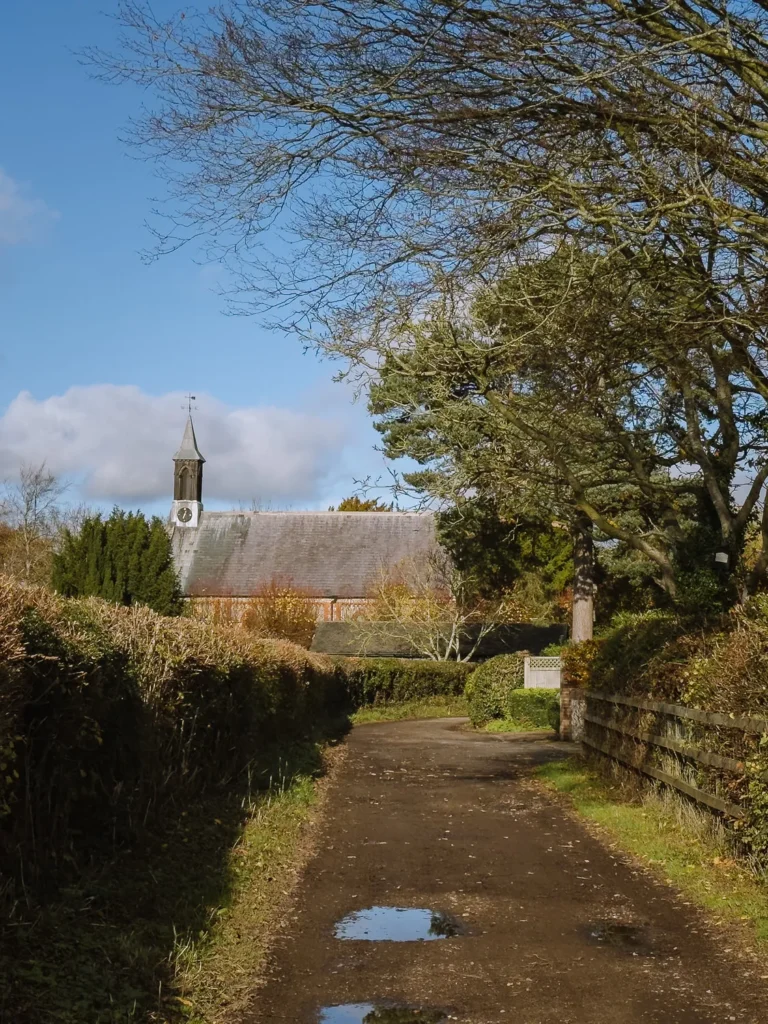
The trail now descends steeply and cuts across fields to the medieval Grade II listed 15th-century church at Ellesborough—a village that was mentioned in the Domesday Book of 1086.
The path now climbs again past the site of Cymbeline’s Castle and under Beacon Hill to join the Ridgeway. There are two pubs to choose from: one you pass in Cadsden, the other is a short detour into Whiteleaf (see below).
After lunch, the trail ascends Whiteleaf Hill (247m), passing the chalk hill figure at Whiteleaf Cross.

You now cross a mix of fields and forest, before passing the grand entrance to Chequers, the Prime Minister’s rural residence.
A final climb up through the forest brings you back to where you started.
PUBS
The Plough at Cadsden is a simple red brick building nestled in the trees. Unfortunately, it has many negative reviews and complaints about parking charges. When we went, it had decided to close for a private event, which was not advertised on its website.
A better option is the Red Lion on the edge of Whiteleaf (lunch served Friday to Sunday). A charming, whitewashed building with a real fire, it serves traditional pub grub from friendly staff. It’s about halfway round the walk.
GETTING THERE
This walk can be accessed from both Princes Risborough and Wendover train stations, both of which require a 20-minute walk to reach the trail.


3. BLEDLOW RIDGE CIRCULAR
- Start / End: Chinnor Hill / Hill Road Junction (OX39 4BB)
- Distance: 8.8 miles (14.15 km)
- Duration: 4 hours 10 minutes
- Elevation: 1,050 feet ascent & descent
- Difficulty: Medium
- Map: Bledlow Ridge Circular OS Map
This is a very peaceful hike in a remote part of the Chilterns. We love the mix of beech forests and sheep-strewn fields.
The last time we did the hike, we hardly saw anyone.
Ideally, come in autumn when the beech forests are glowing with orange leaves, or in spring when wildflowers dot the fields.
The walk begins just outside Chinnor. We found a parking space on the narrow road off the Chinnor Hill Road junction.
The trail follows the Ridgeway before climbing steeply up the escarpment. It heads through a deep beech forest, which is magnificent in autumn.
After an hour, the trees give way to fields, and the trail joins the Chiltern Way as it passes a tiny church in Radnage.
Crossing a couple of sheep-strewn fields and climbing the ridge, you arrive at The Boot in Bledlow Ridge at the perfect time for lunch.
After lunch, the path descends through a narrow gap between two hedges before opening out across fields. Rejoining the Ridgeway, it re-enters the forest and heads back to where you started.
PUBS
The Boot in Bledlow Ridge (closed Monday & Tuesday) is on the main road and lacks the atmosphere of an old country pub. But it makes up for it with the food. The beef shin we ordered was excellent, and the service was top-notch.
GETTING THERE
This hike is just a 5-minute walk from Chinnor train station, where a steam train makes the infrequent short journey to Princes Risborough.
It’s also a 15-minute walk from Stokenchurch (junction 5 of M40), where the Oxford Tube stops on its way between London and Oxford.


4. CHESS VALLEY WALK
- Start / End: The Green in Sarratt (WD3 6AS)
- Distance: 7.15 miles (11.5 km)
- Duration: 3 hours
- Elevation: 350 feet ascent & descent
- Difficulty: Easy to Medium
- Map: Chess Valley Walk OS Map
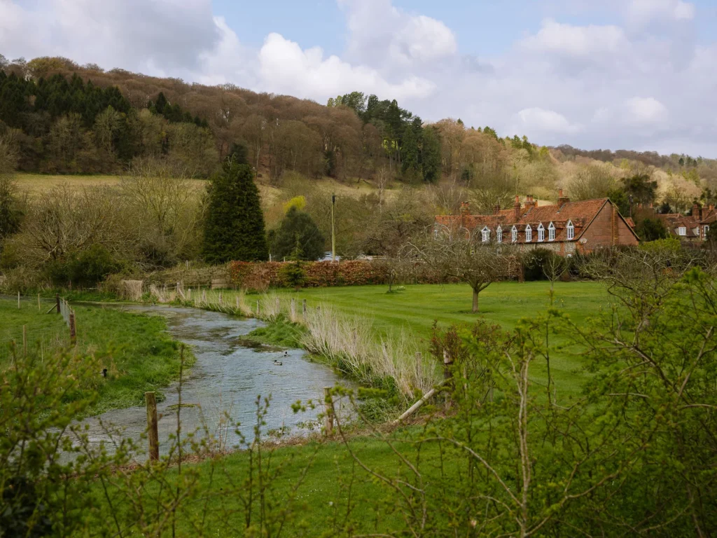
This walk combines a section of the Chiltern Way with a gentle amble along the River Chess. It lacks some of the views of the other walks, but makes up for it with the wealth of wildlife hidden in the meadows and marshland at the bottom of the Chess Valley.
The hike begins in Sarratt, a pretty village with plenty of parking around the village green. The trail descends across fields to Church End, then to Sarratt Bottom.
For the next two miles, it follows the River Chess. This chalk stream is home to the Frogmore Meadows Nature Reserve, where you can spot egrets, kingfishers, otters and dragonflies as you cut across a mix of fields and wetlands. It also contains Sarratt Watercress Beds, one of the last commercial watercress farms in the Chilterns.
At the village of Latimer, turn right up the road and then right again on a path that climbs through the forest to reach Flaunden, where the Green Dragon serves an excellent selection of cask ales.
Rejoining the Chiltern Way, the walk heads across a mix of minor roads and fields to end back at Sarratt.
PUBS
The Green Dragon in Flaunden serves only pizza (Thursday to Sunday), but it is still an excellent choice for lunch, with its vast array of cask ales.
Inside the 17th-century village pub, there is a real fire, low beams, and exposed brickwork. Outside is a spacious beer garden.
It is about 2/3 of the way around the walk. For a more traditional pub meal, head to the Cricketers in Sarratt or the Cock Inn at Church End.
GETTING THERE
This hike is about a 20-minute walk from Chalfont and Latimer Train Station, which is on the Metropolitan Tube Line.
5. TURVILLE HEATH CIRCULAR
- Start / End: Ibstone roadside (HP14 3XT)
- Distance: 12 miles (19.3 km)
- Duration: 6 hours
- Elevation: 1,850 feet ascent & descent
- Difficulty: Medium to Challenging
- Map: Turville Heath Circular OS Map
This is the longest hike on the list. It’s 12 miles long, nearly 2,000 feet of ascent and descent, and will take about 6 hours. If you want a proper workout with a truly fantastic country pub, then this is the walk for you.
It starts in the village of Ibstone, where there is limited parking along the road. The trail follows the Chiltern Way, passing through a mix of ancient forest, green fields and narrow country lanes.
It then joins the Oxfordshire Way through Pishill and Maidensgrove, before rejoining the Chiltern Way and heading through Stonor Park.
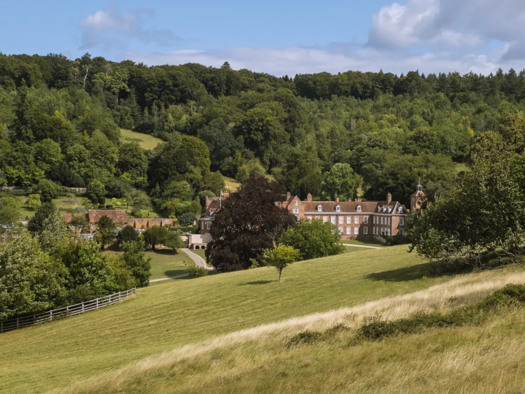
Stonor Park is a 250-acre historic country house and private deer park. It runs open days for kids in the holidays, but you can get good views of the house (for free) as you follow the public footpath on this walk.
The trail now heads through Southend and into the lovely little village of Turville, where the Vicar of Dibley was filmed. Mentioned in the Anglo-Saxon Chronicle of 796 CE, it has a pretty church, a grand manor house and several historic stone and timber houses.
Best of all, the local pub, the Bull & Butcher, is the perfect place for lunch.
After lunch, climb steeply up Turville Hill, past the windmill and then down the other side.
At Gravesend turn left and follow the trail along the valley floor before making the final climb back to Ibstone.
PUB
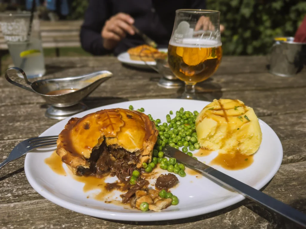
The Bull and Butcher in Turville (open every day) is one of our favourite pubs in the Chilterns. They have award-winning pies, friendly service and local ales. The beer garden is excellent on a sunny day.
GETTING THERE
This hike is not easily accessible by public transport.
6. CHILTERN FOUR PUB CIRCULAR
- Start / End: Hambleden (RG9 6RP)
- Distance: 9.35 miles (15 km)
- Duration: 4 hours 20 minutes
- Elevation: 1,035 feet ascent & descent
- Difficulty: Medium
- Map: Chiltern Four Pub Circular OS Map
This is a great walk connecting four pretty Chiltern hamlets, each with its own pub.
The hike begins in Hambleden, possibly the prettiest hamlet in the Chilterns. Meaning ‘crooked’ in Old Saxon, it is recorded as Hanbledene in the 1086 Domesday Book.
Brick-and-flint cottages line the medieval main street. The Saint Mary the Virgin church dates back to the 14th century.
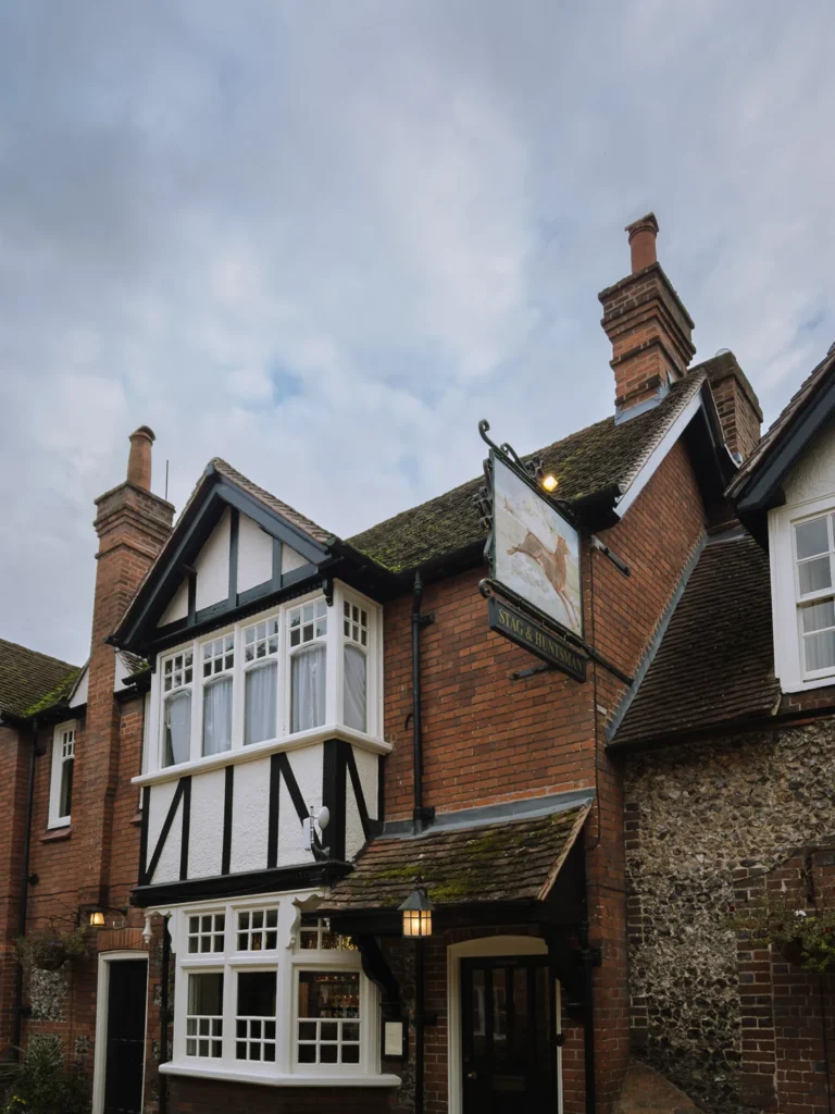
There is limited parking along the street in the town centre, or a large paid car park just past the Stag & Huntsman pub.

The route begins by following the Shakespeare Way as it climbs through the Great Wood. At Southend it joins the Chiltern Way and heads into the charming village of Turville (which I mentioned in the walk above).
A short distance further, it reaches Fingest. Check out St Bartholomew’s church, built in the early Norman era and featuring an unusual tower with a double-saddled roof.
Next up is Skirmett, a little village stretched along the road. Finally, the trail follows Hamble Brook along the valley floor and back into Hambleden.
PUBS
The Bull and Butcher in Turville (open every day) has fantastic pies as mentioned above.
The Chequers at Fingest (open every day) is a very cute little country pub with a menu of elevated pub classics. To be perfectly honest, I had the ox and Guinness pie, and it was completely lacking in flavour. Other items on the menu might be better.
The Frog Inn in Skirmett is another option. Unfortunately, it was under renovation the last time we were there.
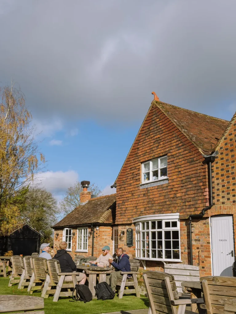
The Stag and Huntsman in Hambleden (open every day) is at the beginning/end. This is a great pub that we’ve been to many times.
Our recommendation would be to have a pie at the Bull & Butcher, a pint at Chequers, then dessert at the Stag & Huntsman!
GETTING THERE
This hike is not easily accessible by public transport.
7. HENLEY & HAMBLEDEN
- Start / End: Mill End Car Park (RG9 6TL)
- Distance: 9 miles (14.5 km)
- Duration: 4 hours
- Elevation: 535 feet ascent & descent
- Difficulty: Easy to Medium
- Map: Henley & Hambleden OS Map
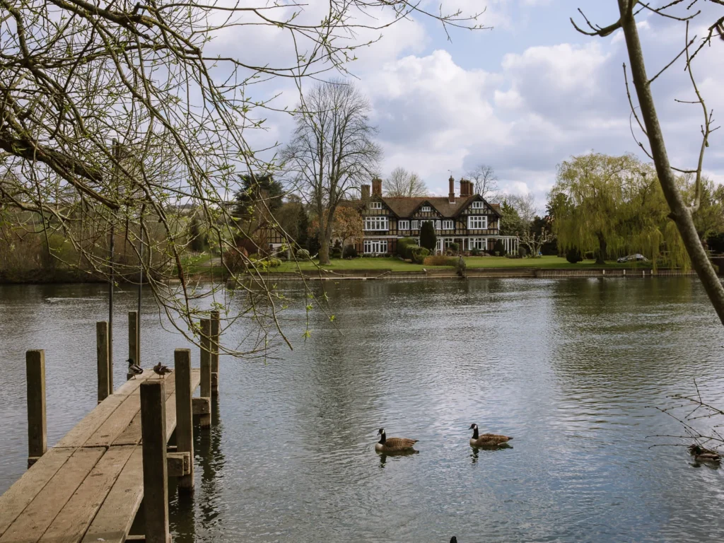
This Chiltern walk combines the picture-perfect village of Hambleden with the grand architecture, quaint boathouses and historic estates of Henley.
In between, the path ambles along the banks of the River Thames, climbs through thick forest, and potters down country lanes. It’s so good that we keep going back to do it again.
Starting at Mill End Car Park, head south and cross over the River Thames at Hambleden Lock. Follow the southern bank of the Thames, then head uphill to Aston. The trail now joins the Chiltern Way and heads across fields into Henley, where you can grab a coffee and snack.
Next, follow the north bank of the Thames for grand views across the water to Remenham and Temple Island. Leaving the river, you head into Ridge Wood before dropping into pretty Hambleden, where the Stag and Huntsman serves locally brewed ales and a good lunch.
Finally, head across fields and return to Mill End car park, to end a great day out.
PUBS
There are numerous cafés and pubs in Henley, but for a country pub, head to the Stag and Huntsman in Hambleden (open every day), which is towards the end of the hike.
GETTING THERE
The hike can be joined at Henley, which has a train station. Trains run regularly from London Paddington (50 minutes), changing at Twyford. If you start at Henley, the pub at Hambleden is halfway round.
8. HENLEY TO MARLOW
- Start / End: Henley Train Station (RG9 1AY)
- Distance: 10 miles (16 km)
- Duration: 4 hours
- Elevation: 65 feet ascent & descent
- Difficulty: Easy to Medium
- Map: Henley to Marlow OS Map
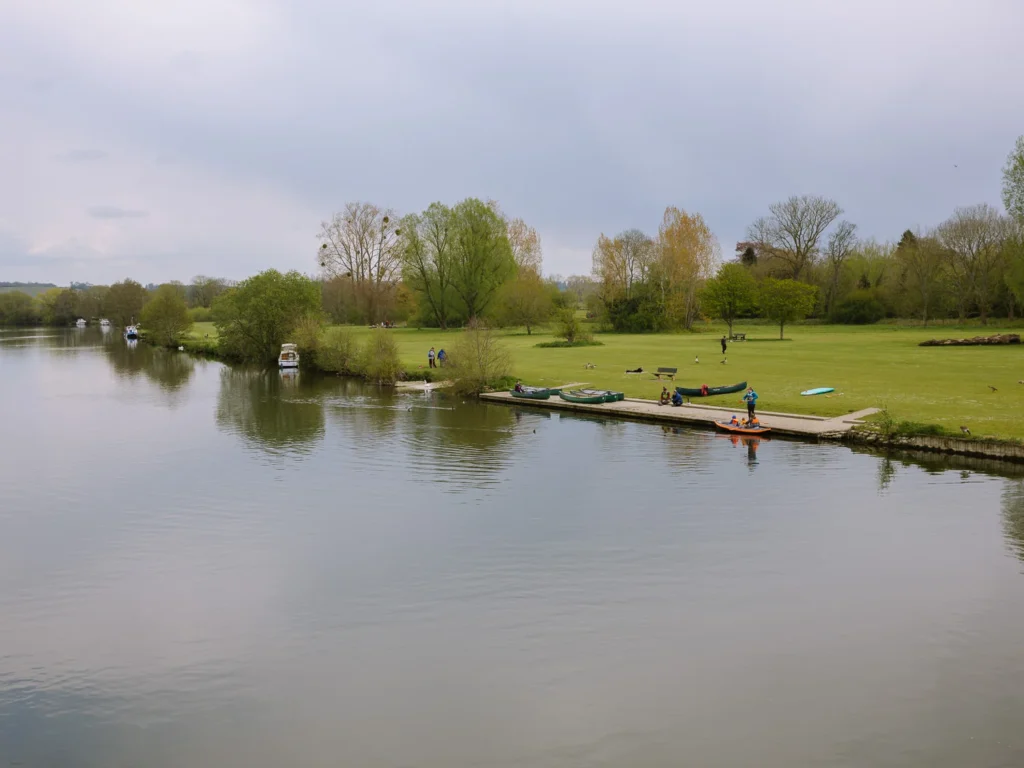
This walk follows the Thames footpath between Henley and Marlow. Ambling beside the river, it has excellent views of grand houses and plenty of spots for wild swimming.
This hike starts from the train station in Henley, so it’s a great choice if you don’t have a car.
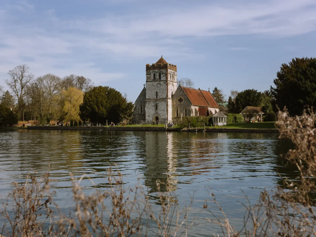
From Henley Train Station, cross over the river and follow the Thames footpath along the southern bank of the river. Shortly, you pass through the village of Remenham, where it’s worth making the short detour to the church and graveyard.
Next, you pass Hambleden Lock, after which the path leaves the Thames to head through the grounds of Culham Court. This Grade II listed house, built in 1771, is surrounded by landscaped grounds containing a herd of white fallow deer.
The path rejoins the Thames to reach Hurley. This pretty village has a partially moated Benedictine priory founded in 1086, the oldest still-working inn in Britain (The Olde Bell) and an 18th-century manor house. It’s a great place to potter around.
The reviews at the Olde Bell aren’t great, so we recommend the Rising Sun. On nice weekend days, it’s worth booking in advance.
Hurley Island is also a popular spot for wild swimming in the Thames, so if you fancy a dip, bring your gear.
From Hurley, the Thames footpath crosses over the River Thames at Temple Lock footbridge and follows the northern bank of the Thames. Unfortunately, the Environment Agency closed the footbridge in 2023, and it has yet to reopen. So, you must stick to the south side of the river.
This detour passes the abbey and National Sports Centre in Bisham, before following the road and crossing the river to end in Marlow.
Both Marlow and Henley have plenty of coffee shops and cafés, so it is easy to make a day of it and have a break at either end.
PUBS
The Rising Sun in Hurley is about 2/3 of the way along the walk. It serves a mix of pub grub and pizzas. It has a pretty beer garden, although it can be packed on warm summer days.
GETTING THERE
This point-to-point hike begins at Henley Train Station and ends at Marlow Train Station. Both are easily accessible from London Paddington. If you have a car, park at Henley and get the 850 bus back from Marlow (30 minutes).


9. COOKHAM MOOR
- Start / End: Cookham Moor National Trust Car Park (SL6 9SG)
- Distance: 9.7 miles (16.5 km)
- Duration: 4 hours
- Elevation: 245 feet ascent & descent
- Difficulty: Easy to Medium
- Map: Cookham Moor OS Map
Strictly speaking, this hike is not in the Chilterns. But we love the Queens Head in Little Marlow and the walk around Cookham Moor, through Marlow and along the Thames, is a joy.
From Cookham Moor National Trust Car Park, head across Cookham Moor and pass under the railway line. The trail skirts under Winter Hill with Cock Marsh on your right. It then heads through woods along country lanes, before crossing under the A404 and entering Marlow.

Have a coffee in Marlow—our favourite is Café Fego—then follow the signs for the Thames footpath along the northern bank of the river. It’s a lovely path with grand houses on the far bank reflecting in the water.
Make a detour inland to the Queens Head pub in Little Marlow, which makes a great spot for lunch. Return to the Thames Footpath, cross over the pedestrian footbridge at Bourne End and follow the river back to the car park.
PUBS
The Queens Head in Little Marlow is one of our favourite pubs in the Chilterns. Real fire, cosy dining room, and out-of-the-way beer garden complement a good menu with rotating specials. It’s worth doing the walk just to have lunch here.
The Bounty is another pub set on the river near the Bourne End pedestrian footbridge. It’s open only on Friday nights and weekends, and it’s a good spot for a pint.


GETTING THERE
This walk can be accessed from Marlow, which has a train station. Trains run regularly from London Paddington (1 hour), changing at Maidenhead. If starting at Marlow, walk anticlockwise, and the Queens Head is about 2/3 of the way round.
10. GORING GAP & WHITCHURCH
- Start / End: Goring & Streatley Train Station (RG8 0EP)
- Distance: 8.7 miles (14 km)
- Duration: 4 hours
- Elevation: 700 feet ascent & descent
- Difficulty: Medium
- Map: Goring Gap & Whitchurch OS Map
Goring Gap is a narrow valley formed by the River Thames cutting through the chalk hills. It separates the Chiltern Hills in the east from the North Wessex Downs in the west.
This hike explores the rugged farmland above Goring, stops for lunch in Whitchurch (weekends only) and then cuts through Goring Gap.
The trail begins by ascending the Chiltern Way into the Great Chalk Wood and then across the fields and farmland of Cold Harbour (155m). It’s surprisingly wild and rugged up here with cows and sheep dotting the landscape.
The path cuts through beech wood and drops into Whitchurch-on-Thames, where you can grab lunch at the Greyhound (weekends only).
The final section follows the Thames footpath along the northern banks of the river. It cuts through Goring Gap and ends back at Goring.
PUBS
The Greyhound in Whitchurch-on-Thames has wooden beams and low ceilings. It serves a full pub lunch menu and offers hand-pumped beer, including locally sourced ales from Amwell Springs in Cholsey and Rebellion Brewery in Marlow.
Unfortunately, it’s only open for lunch at weekends.
Mid-week, try the Catherine Wheel or The Swan (Coppa Club) in Goring.
GETTING THERE
Goring Train Station is easily accessible from London Paddington, with a journey time of about 1 hour. Some trains are direct, but most require a change at Reading.
You can support our blog by booking your trip using these resources.
MORE GUIDES FOR YOUR ENGLAND TRIP

ANYWHERE WE ROAM IS
READER-SUPPORTED
When you buy through links on our site, we may earn a small affiliate commission at no extra cost to you.
Thanks for your support.
Paul & Mark.